aef-bng
Reproject AlphaEarth Foundation satellite embeddings to the British National Grid (EPSG:27700) on Databricks.
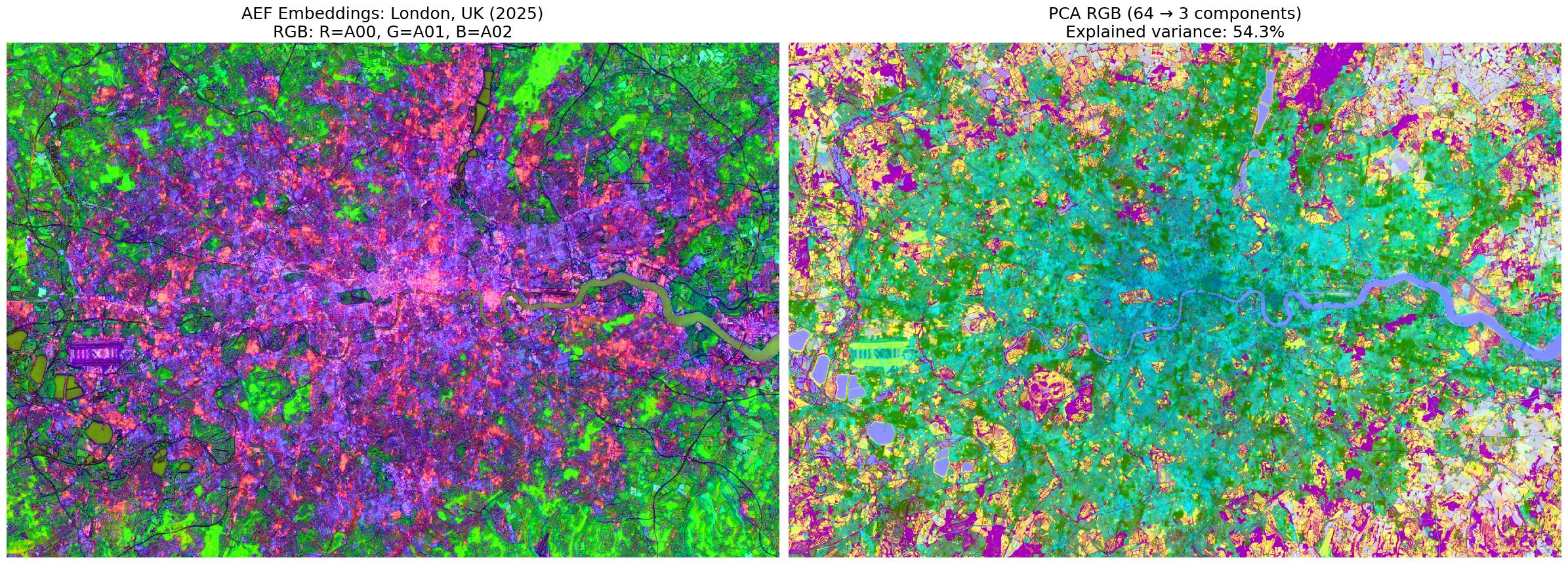
What is aef-bng?
aef-bng takes Google DeepMind's
AlphaEarth Foundation
10m-resolution satellite embeddings (stored as Cloud Optimised GeoTIFFs in UTM projection) and
reprojects them to the British National Grid (EPSG:27700).
The output is a Unity Catalog Delta table with 64 int8 embedding bands per 10m pixel, indexed by BNG grid reference and ready for downstream ML tasks.
It was developed as part of the Ministry of Housing, Communities and Local Government's (MHCLG) AAAI lab to predict the potential of brownfield land - you can read more about the project.
The pipeline has been open-sourced in case it is useful for other Databricks users working with AlphaEarth data in a vector format using Databricks Spatial functions.
Key Features
- Distributed processing via Spark
mapInArrowon Databricks - Async COG reading via
async-geotiff+obstore - UTM→BNG reprojection with first-valid tile merging for zone boundaries
- Vectorised pixel extraction with WKB geometry per pixel
- 10km BNG chunk-based parallelism (matches OS grid system)